Risk LevelsNoneLowLimitedElevatedSignificant
Accurate Local DependableEast-Central Illinois
Current Region 9 RiskSignificant
Significant for Severe Storms
County Conditions
Latest Weather Updates
Latest Update
6:12 PMAlert ended: Severe Thunderstorm Warning — McLean County — until Sep 15, 6:30 PM CDT.5:43 PMNew alert: Severe Thunderstorm Warning — McLean County — until Sep 15, 6:30 PM CDT.5:43 PMMcLean County is now in Significant risk due to Severe Thunderstorm Warning.12:41 AMVermilion County is now in Low risk.12:41 AMChampaign County is now in Low risk.12:41 AMPiatt County is now in Low risk.12:41 AMDeWitt County is now in Low risk.12:41 AMMcLean County is now in Low risk.12:41 AMLivingston County is now in Low risk.12:41 AMFord County is now in Low risk.12:41 AMIroquois County is now in Low risk.12:41 AMKankakee County is now in Low risk.6:12 PMAlert ended: Severe Thunderstorm Warning — McLean County — until Sep 15, 6:30 PM CDT.5:43 PMNew alert: Severe Thunderstorm Warning — McLean County — until Sep 15, 6:30 PM CDT.5:43 PMMcLean County is now in Significant risk due to Severe Thunderstorm Warning.12:41 AMVermilion County is now in Low risk.12:41 AMChampaign County is now in Low risk.12:41 AMPiatt County is now in Low risk.12:41 AMDeWitt County is now in Low risk.12:41 AMMcLean County is now in Low risk.12:41 AMLivingston County is now in Low risk.12:41 AMFord County is now in Low risk.12:41 AMIroquois County is now in Low risk.12:41 AMKankakee County is now in Low risk.
Region 9 Alerts

Hazards

REGION 9 WEATHER

Hazards

Region 9 is monitoring lightning/thunderstorms in the upcoming forecast. This page is refreshed by the Region 9 production cycle.

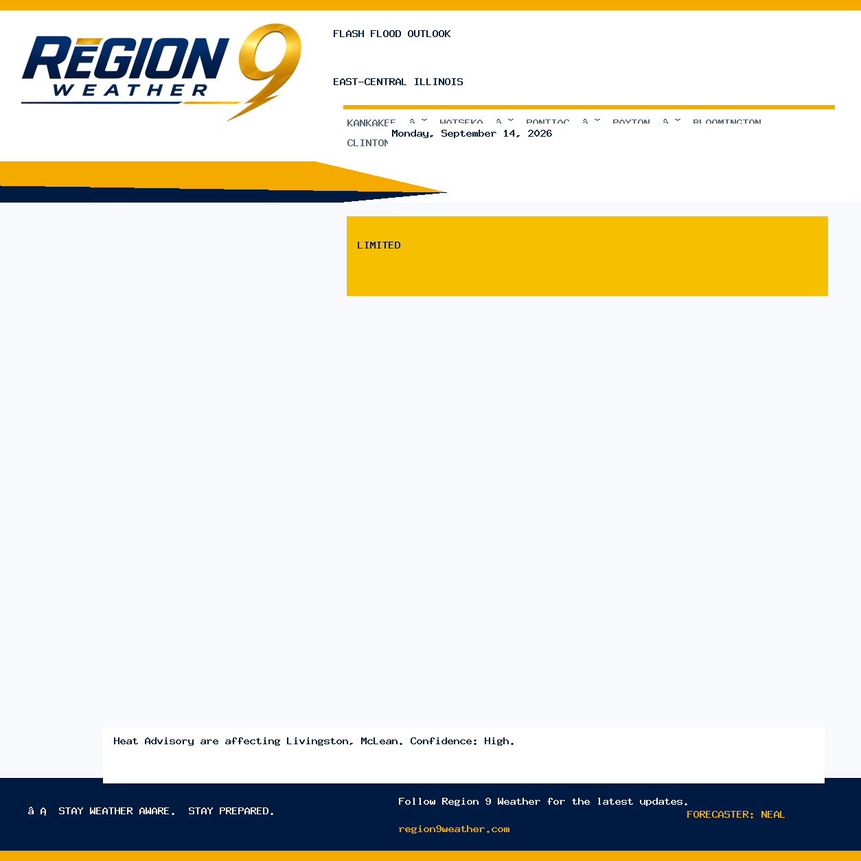
Weekly Weather Hazards — Friday, August 28, 2026

Weekly Weather Hazards — Friday, August 28, 2026

Weekly Weather Hazards is Low for east-central Illinois. Region 9 is monitoring fog/visibility in the upcoming forecast. RISK LEVEL: Low; STORM / RAIN CHANCE: 0% chance; PEAK WIND: NE 1–5 mph; CONFIDENCE: High. Verified against the latest official forecast, alert, severe-weather, precipitation and climate guidance. Forecast confidence is high.

Valid Saturday, August 29, 2026 at 6:00 AM CDT · High confidence · Neal
Flash Flood Outlook — Friday, August 28, 2026

Flash Flood Outlook — Friday, August 28, 2026

Flash Flood Outlook is None for east-central Illinois. Region 9 is monitoring fog/visibility in the upcoming forecast. RISK LEVEL: None; STORM / RAIN CHANCE: 0% chance; PEAK WIND: NE 1–5 mph; CONFIDENCE: High. Verified against the latest official forecast, alert, severe-weather, precipitation and climate guidance. Forecast confidence is high.

Valid Saturday, August 29, 2026 at 6:00 AM CDT · High confidence · Neal
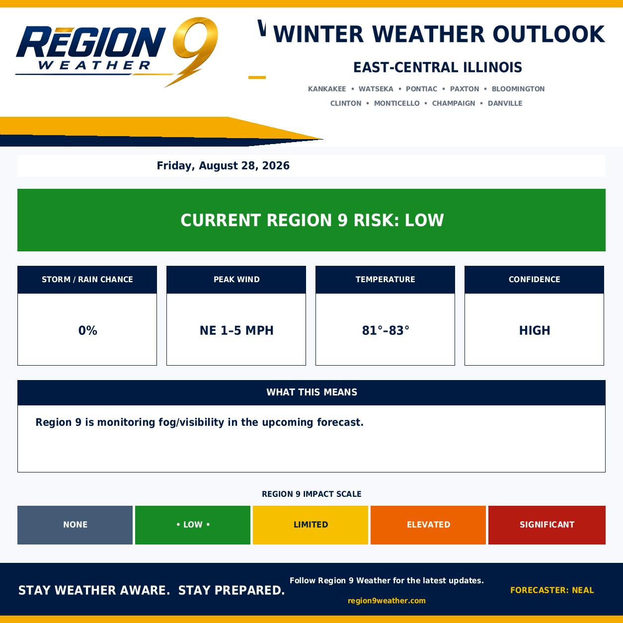
Winter Weather Outlook — Friday, August 28, 2026

Winter Weather Outlook — Friday, August 28, 2026

Winter Weather Outlook is None for east-central Illinois. Region 9 is monitoring fog/visibility in the upcoming forecast. RISK LEVEL: None; STORM / RAIN CHANCE: 0% chance; PEAK WIND: NE 1–5 mph; CONFIDENCE: High. Verified against the latest official forecast, alert, severe-weather, precipitation and climate guidance. Forecast confidence is high.

Valid Saturday, August 29, 2026 at 6:00 AM CDT · High confidence · Neal

Region 9 is monitoring lightning/thunderstorms in the upcoming forecast. This page is refreshed by the Region 9 production cycle.
Weekly Hazard Outlook

Weekly Hazard Outlook information is maintained with the latest verified Region 9 update.

Flooding

Flooding information is maintained with the latest verified Region 9 update.

Wind

Wind information is maintained with the latest verified Region 9 update.

Winter Hazards

Winter Hazards information is maintained with the latest verified Region 9 update.

Updated Aug 27, 2026 11:00 PM CDT